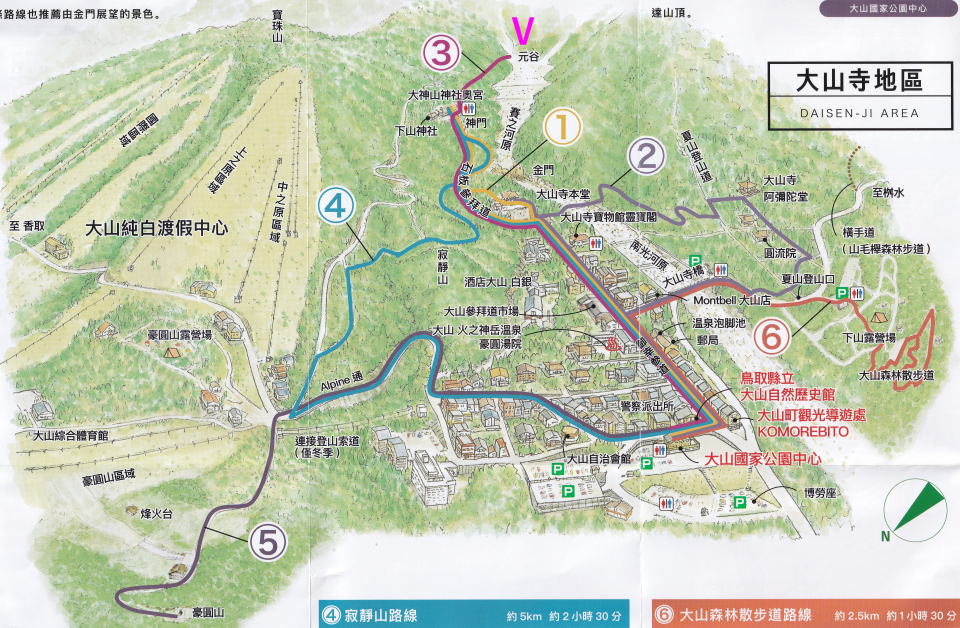
Mt.Daisen and Daisenji Temple
This page shows Mt.Daisen and Daisenji Temple. Below is an area-map and
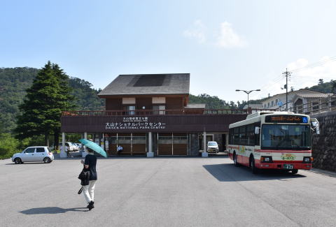
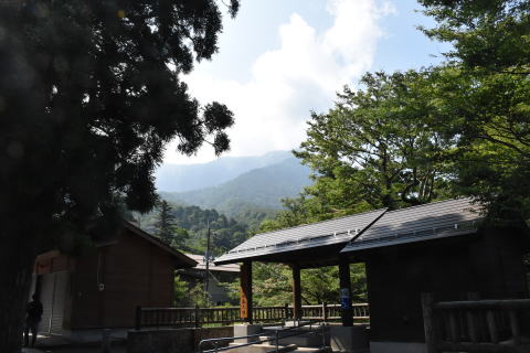
bus terminal.
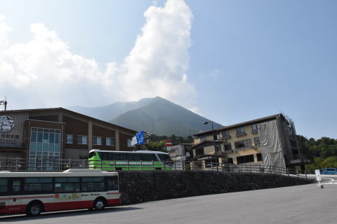
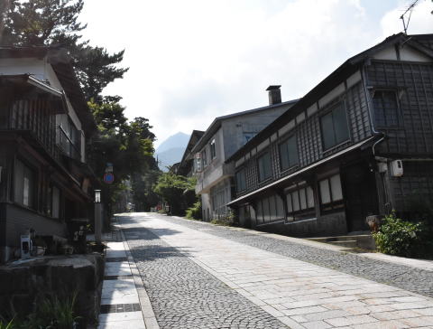
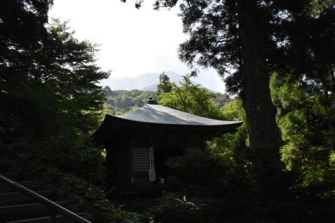
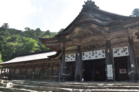
After leaving the bus terminal(700m above the sea level), we climb up the
steep slope to the temple, as in 8 pictures below. The bottom line left
is the temple's main building.
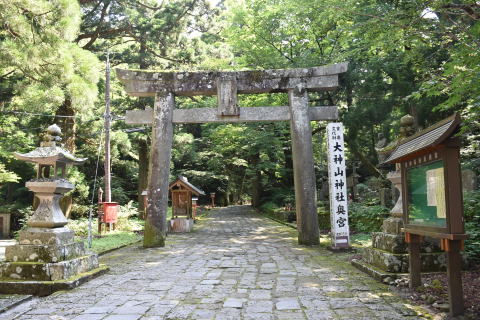
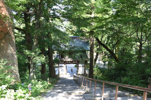
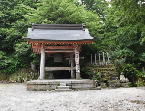
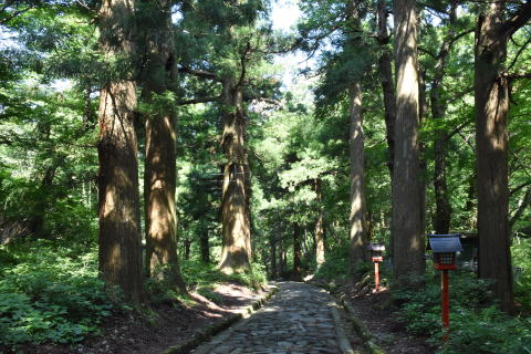
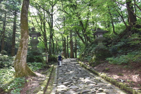
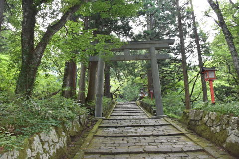
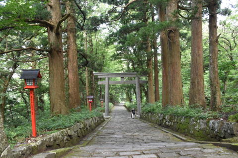
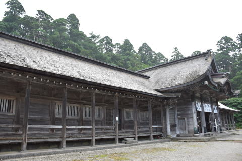
Then we go further to the upper shirine walking on the old stone-paved
approach.
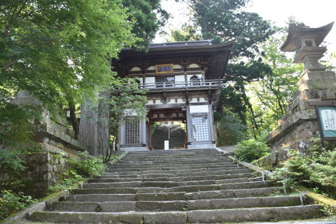
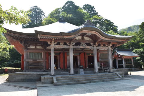
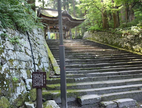
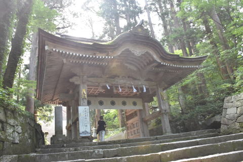
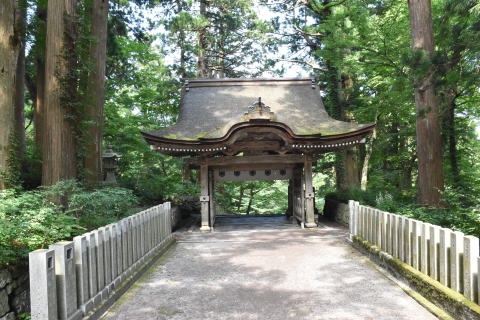
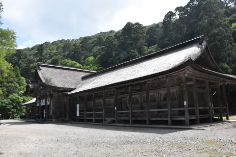
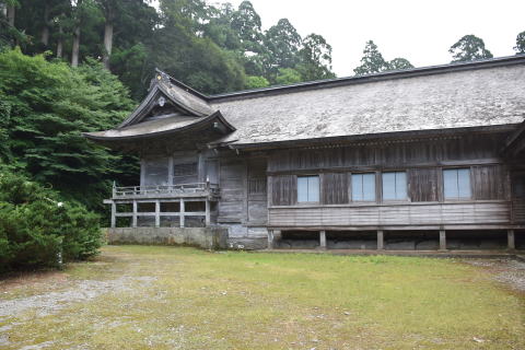
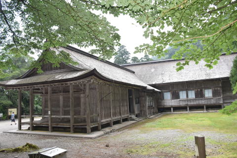
Then we climb the stone stairs at the end of the approach, and pass the
gate, finally reach the upper shrine (national treasure)
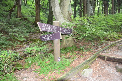
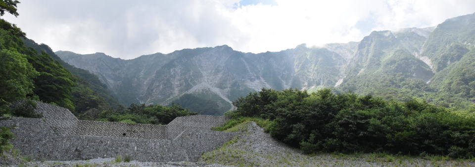
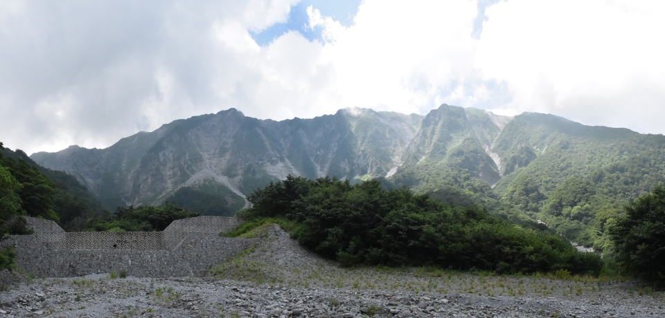
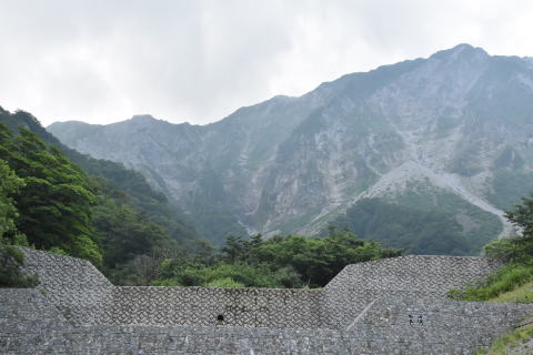
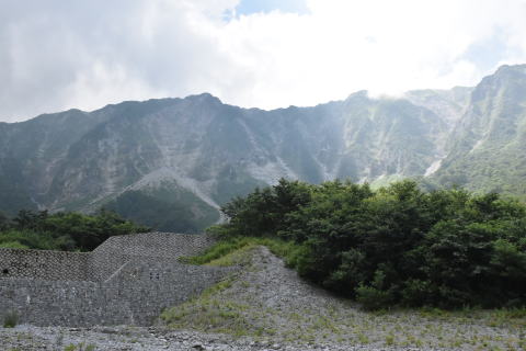
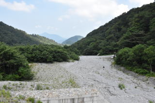
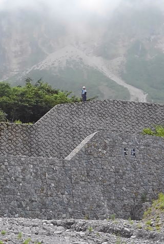
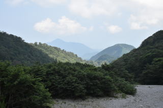
Footpath to the mountain summit(1700m above sea) starts from rightside back of the shrine. Regrettably, we are too old to challenge the summit, so we return at the "Motodani"(the great valley or the bottom of cirque,PointV at the top map;1000m)
2 pictures in the top line are at the start. Following 3 lines are the
summit ridge from the great valley. The man on the enbankment bottom line
centre is myself.
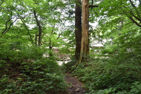
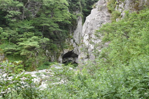
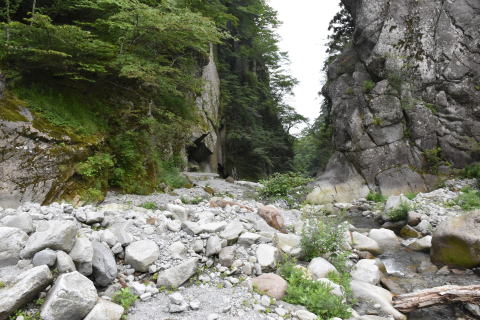
Below is the remain of ancient approach to the shrine digging the rock,
hundreds of years ago.
Back to the previous page