 |
Explorering the nortern,eastern,southern and western tips of Great Britain
This is a part of my essay published in 1981. Several pictures digitised from old negative films are newly added.
On the map below,taken from AA Atlas,the northern,eastern,southern and
western tips of Great Britain are indicated by small black circles. I inserted
letters N,E,S and W to each point and also H to the highest point and C
to the centre of England.
| |
The following is my guide to the points with my own old pictures.
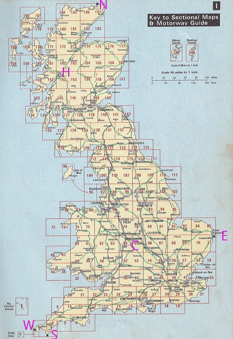
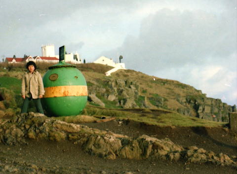
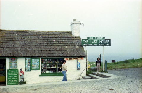
(WEST) Land’s End(Cornwall)
 |
 |
First, well-known most-westerly point is Land' s End, 10 miles west to
Penzance. There is a sighpost of "The Last House" at the end
of A30.
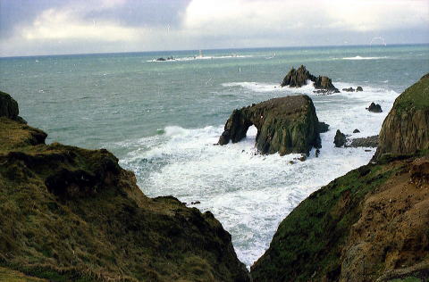
(SOUTH) Lizard Point(Cornwall)
 |
 |
The southernmost is Lizard Point,tip of the Lizard Peninsula. 11 miles south to Helston,which is 13 miles east to Penzance by A394.
Land's End is 290 miles from London, and Lizard Point can be visited on
the same day, so it is not so diffuclt to conquer west and south. Far more
difficlt is the north.
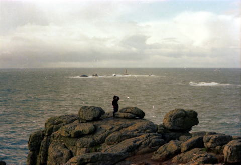
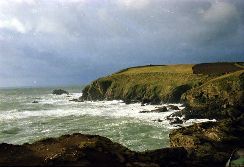
(NORTH) John o’Groats(for Turism;left) and Dunnet Head(Geographical;right)(Highland, Scottland)
 |
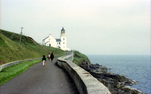 |
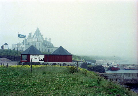 |
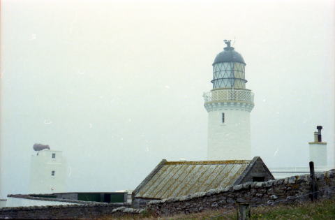 |
There are 2 points boasting as the northern tip. The real, that is, geographically true most-point is Dunnet Head(pictures on the right side). North to the town Dunnet which is 6 miles east to Thurso, the most-northern station of British Rail. However, as J&B Guide's "Discovery Scottland" wrote, "There are nothing at Dunnet Head to prove you visited the most-northen point. You should visit John o'Graots where you can buy souvenirs or post cards to boast of and take your pictures with the date and sign post. " So, I visited John o' Groats as well, 8 miles to the east from Dunnet by A836(pictures on the left side)
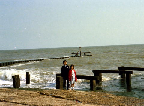
(EAST)Lowestoft Ness Point(Norfork)
 |
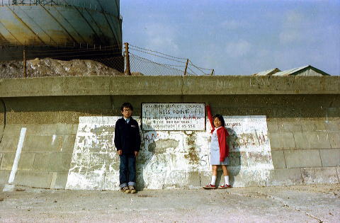 |
The east, finally left is diificult to pin-point by a map. I walked along
the coast near the fish port of Lowestoft, and found the spot. Slightly
south to the end of undersea cable(picture left), there were written on
the wall of the break-water, " This is the most easterly point of
British Isles"(picture right)
While taking a piture with my children, I heard a local family passing
by whispering "They came from further east"
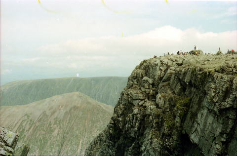
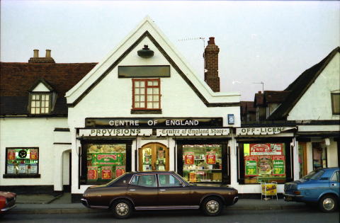
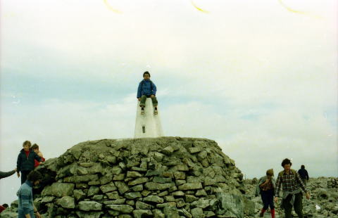
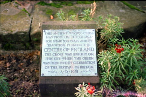
APPENDIX:(HIGHEST POINT;Mt.Ben Nevis(SCOTTLAND) left)、(CENTRE of ENGLAND;MERIDEN(C)
right)
 |
 |
 |
 |
As supplyments, the highest point of Great Britain is Mt. Ben Nevis(4406 feet-high), there and back 4 hours' mountaineering from Glen Nevis where is 10 minutes drive from Fort William.North wall of the summit is a place for advanced rock-climbers(pictures left side)
Centre of England is said to be the village of Meriden near Coventry(pictures right side)